Writing and Printing
History of cartography
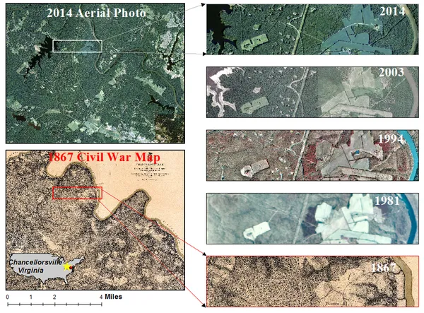
Maps have been one of the most important human inventions, allowing humans to explain and navigate their way. When and how the earliest maps were made is unclear, but maps of local terrain are believed to have been independently invented by many cultures. The earliest putative maps include cave paintings and etchings on tusk and stone. Maps were produced extensively by ancient Babylon, Greece, Rome, China, and India. The earliest maps ignored the curvature of Earth's surface, both because the shape of the Earth was unknown and because the curvature is not important across the small areas being mapped. However, since the age of Classical Greece, maps of large regions, and especially of the world, have used projection from a model globe to control how the inevitable distortion gets apportioned on the map.Modern methods of transportation, the use of surveillance aircraft, and more recently the availability of satellite imagery have made documentation of many areas possible that were previously inaccessible. Free online services such as Google Earth have made accurate maps of the world more accessible than ever before.
Also on this shelf
2nd millennium BC.
Display typeface.
See also
Uncatalogued shelfText from Wikipedia; plate via Wikimedia Commons. Text CC BY-SA 4.0; plate freely licensed (see Commons). Source record. Images and catalogue data are reproduced from open-access collections.