Photography
Culp's Hill
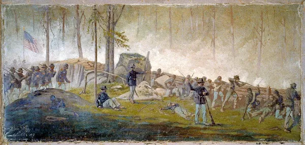
Culp's Hill, which is about 3⁄4 mi (1,200 m) south of the center of Gettysburg, Pennsylvania, played a prominent role in the Battle of Gettysburg. It consists of two rounded peaks, separated by a narrow saddle. Its heavily wooded higher peak is 630 ft (190 m) above sea level. The lower peak is about 100 feet (30 m) shorter than its companion. The eastern slope descends to Rock Creek, about 160 feet (50 m) lower in elevation, and the western slope is to a saddle with Stevens Knoll (formerly McKnight's Hill) with a summit 100 ft (30 m) lower than the main Culp's Hill summit. The hill was owned in 1863 by farmer Henry Culp and was publicized as "Culp's Hill" by October 31, 1865. During the Battle of Gettysburg, July 1–3, 1863, Culp's Hill was a critical part of the Union Army defensive line, the principal feature of the right flank, or "barbed" portion of what is described as the "fish-hook" line. Holding the hill was by itself unimportant because its heavily wooded sides made it unsuitable for artillery placement, but its loss would have been catastrophic to the Union army. It dominated Cemetery Hill and the Baltimore Pike, the latter being critical for keeping the Union army supplied and for blocking any Confederate advance on Baltimore or Washington, D.C.
Also on this shelf
Abedin Mahdavi.
Fine-art nude photography.
See also
Uncatalogued shelfText from Wikipedia; plate via Wikimedia Commons. Text CC BY-SA 4.0; plate freely licensed (see Commons). Source record. Images and catalogue data are reproduced from open-access collections.