Maritime History
Geography of Wollongong
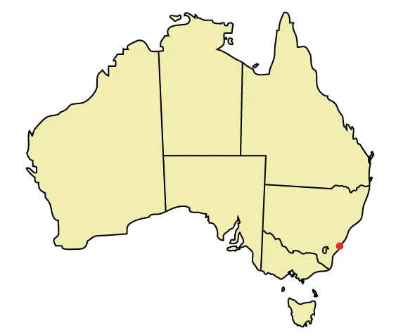
The city of Wollongong has a distinct geography. It lies on a narrow coastal plain flanked by the Pacific Ocean to the east and a steep sandstone precipice known as the Illawarra Escarpment to the west, most notably Mount Keira, joined to the escarpment by a high saddle. The coastal plain is widest in the south and narrows to the north. Despite being on a plain there are minor hills within it, most notably Mount Nebo to the west, and closest to Wollongong is the hill mass west of the railway of Mount Mangerton and Mount Saint Thomas which gives a distinct character to the town, Church Hill and Smiths Hill in the CBD and just north in the high-rise apartment district west of the harbour, Flagstaff Hill at Flagstaff Point, Cobblers Hill to the southwest of Figtree, Flagstaff Hill, home of the Nan Tien Temple, a local landmark, Cringila Hill to the south, and Hospital Hill to the west, north of a small vale separating it from Mount Mangerton. These hills do not generally exceed a hundred metres or so in height. Mount Keira road, the first and still used pass over the escarpment and past the mountain of that name, follows a low ridge, one of several such minor ridges in the plain, from Hospital Hill, formerly Garden Hill, on top of which the Wollongong Hospital is situated. The plain is much lower than the escarpment, but contains low hills and small valleys, which gives the city a distinct and interesting mix of altitude. Mangerton and Mount St Thomas both have very small areas of bushland reserve, but littering and illegal bikeriding have become a problem. However, efforts are being made to the contrary such as bushcare volunteering. To the northwest of the city foothills of Mount Keira travel down towards the coast creating a rippled look, as at the Wollongong Botanic Gardens. North of Wollongong is Stuart Park/Fairy Lagoon, part of the Fairy/Para Creek system. North of this is Puckeys Estate Reserve, site of a salt works, and a bushwalking reserve. This reserve is known for its birdlife and coastal wetlands. The shallow lagoon is prone to tidal change and has been known to flood. To the south of the city is J.J.Kelly Park and south of this the Rotary Greenhouse Park, once a waste pile it has been planted into a garden area and has a bike track and lookout over the city and Port Kembla steelworks. It also has views to the mountains and over the city.
Also on this shelf
HMAS Whyalla (J153).
Montagu whaler.
See also
Uncatalogued shelfText from Wikipedia; plate via Wikimedia Commons. Text CC BY-SA 4.0; plate freely licensed (see Commons). Source record. Images and catalogue data are reproduced from open-access collections.