Maps and Exploration
Blaby District
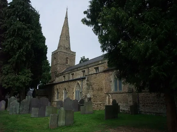
Blaby is a local government district in Leicestershire, England. The district is named after the village of Blaby, although the council is based in Narborough. The district covers an area lying south-west of the city of Leicester. Several of the district's settlements form part of the wider Leicester Urban Area, including Glenfield, where Leicestershire County Council has its headquarters at County Hall, and the town of Braunstone. The neighbouring districts are Hinckley and Bosworth, Charnwood, Leicester, Oadby and Wigston, Harborough and Rugby. The district traces its origins to the Blaby Poor Law Union, which had been created in 1836. It became a rural district in 1894. The modern non-metropolitan district was formed in 1974 under the Local Government Act 1972.
Also on this shelf
Chinnakada Clock Tower.
Amhara Region.
See also
Uncatalogued shelfText from Wikipedia; plate via Wikimedia Commons. Text CC BY-SA 4.0; plate freely licensed (see Commons). Source record. Images and catalogue data are reproduced from open-access collections.