Maps and Exploration
Herbert Range
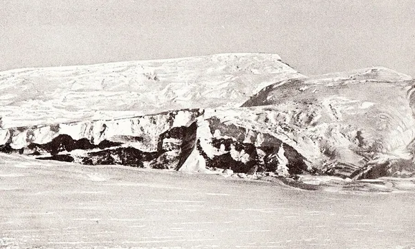
Herbert Range
The Herbert Range (85°22′S 165°30′W) is a range in the Queen Maud Mountains of Antarctica, extending from the edge of the Antarctic Plateau to the Ross Ice Shelf between the Axel Heiberg Glacier and Strom Glacier. Named by the New Zealand Antarctic Place-Names Committee (NZ-APC) for Walter W. Herbert, leader of the Southern Party of the New Zealand GSAE (1961–62) which explored the Axel Heiberg Glacier area.
Also on this shelf
Andrew Jackson and the slave trade.
City of Playford.
See also
Uncatalogued shelfText from Wikipedia; plate via Wikimedia Commons. Text CC BY-SA 4.0; plate freely licensed (see Commons). Source record. Images and catalogue data are reproduced from open-access collections.
Depth 8
Shelf 83a8f848c284ba
25,934 catalogued holdings
3 ways on