Maps and Exploration
Cartography of the United States
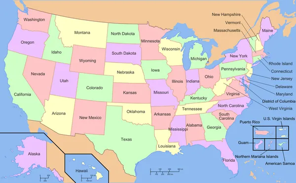
The cartography of the United States is the history of surveying and creation of maps of the United States. Maps of the New World have been produced since the 16th century. The history of cartography of the United States began in the 18th century, after the declared independence of the original Thirteen Colonies on July 4, 1776, during the American Revolutionary War (1776–1783). Later, Samuel Augustus Mitchell published a map of the United States in 1850. The National Program for Topographic Mapping was initiated in 1884 by the United States Geological Survey (USGS).
Also on this shelf
Block A, Rockhampton Technical College.
Althen-des-Paluds.
See also
Uncatalogued shelfText from Wikipedia; plate via Wikimedia Commons. Text CC BY-SA 4.0; plate freely licensed (see Commons). Source record. Images and catalogue data are reproduced from open-access collections.