Maps and Exploration
Axel Heiberg Island
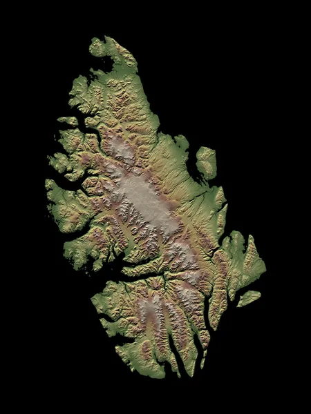
Axel Heiberg Island is an uninhabited island in the Qikiqtaaluk Region, Nunavut, Canada. Located in the Arctic Ocean, it is the 34th largest island in the world and Canada's ninth largest island. According to the United States Geological Survey, Esri, and the United Nations Environment Programme - World Conservation Monitoring Centre it has an area of 42,276.97 km2 (16,323.23 sq mi). It is named after Axel Heiberg. One of the larger members of the Arctic Archipelago, it is also a member of the Sverdrup Islands and Queen Elizabeth Islands. It is known for its unusual fossil forests, which date from the Eocene period. Owing to the lack of mineralization in many of the forest specimens, the traditional characterization of "fossilisation" fails for these forests and "mummification" may be a more precise description. The fossil records provide strong evidence that the Axel Heiberg forest was a high-latitude wetland forest. A holotype of the ammonite Otoceras gracile was found in the Griesbachian substage of the Induan age of the Early Triassic deposits of this island.
Also on this shelf
Formula of Sorrow.
Holmes Miller.
See also
Uncatalogued shelfText from Wikipedia; plate via Wikimedia Commons. Text CC BY-SA 4.0; plate freely licensed (see Commons). Source record. Images and catalogue data are reproduced from open-access collections.