Maps and Exploration
1799 Vendée earthquake
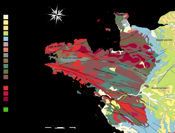
The 1799 Vendée earthquake (French: Séisme de 1799 dans le Marais breton-vendéen) or Bouin earthquake was a magnitude 6.4 earthquake that struck the Vendée area of western France on 25 January 1799 (6 Pluviôse of year VII in the French Republican calendar) with aftershocks on the following days. Its epicenter was located at a depth of 24 km in the Bay of Bourgneuf at the level of the island of Bouin. Shocks of intensity VII–VIII were felt throughout the west of France.
Also on this shelf
Geography.
Greenland ice sheet.
See also
Uncatalogued shelfText from Wikipedia; plate via Wikimedia Commons. Text CC BY-SA 4.0; plate freely licensed (see Commons). Source record. Images and catalogue data are reproduced from open-access collections.