Maps and Exploration
City map
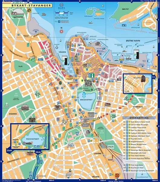
A city map is a large-scale thematic map of a city (or part of a city) created to enable the fastest possible orientation in an urban space. The graphic representation of objects on a city map is therefore usually greatly simplified, and reduced to generally understood symbology. Depending upon its target group or market, a city map will include not only the city's transport network, but also other important information, such as city sights or public institutions.
Also on this shelf
HMS Alert (1856).
Founders Hall (Pittsfield, Maine).
See also
Uncatalogued shelfText from Wikipedia; plate via Wikimedia Commons. Text CC BY-SA 4.0; plate freely licensed (see Commons). Source record. Images and catalogue data are reproduced from open-access collections.