Maps and Exploration
Fridtjof Nansen Land
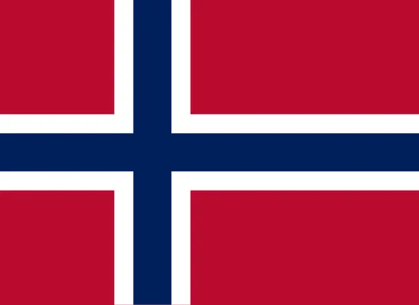
Fridtjof Nansen Land (Norwegian: Fridtjof Nansens Land) was a suggested but not officially adopted Norwegian name of a territory on the southern East Coast of Greenland, that was proclaimed by Norway on July 12, 1932, and occupied until April 5, 1933. It was named after Norwegian polar explorer Fridtjof Nansen. The short-lived territory occupied much of King Frederick VI Coast, which had been claimed a century before by the Danish crown. The main settlements of the territory were Finnsbu in the north, with Trollbotn and Vogtsbu nearby, and Torgilsbu in the south. Fridtjof Nansen Land was also a proposed name of the archipelago Franz Josef Land, a territory to which Norway had claims.
Also on this shelf
Cantonment Maidan.
Gnomonic projection.
See also
Uncatalogued shelfText from Wikipedia; plate via Wikimedia Commons. Text CC BY-SA 4.0; plate freely licensed (see Commons). Source record. Images and catalogue data are reproduced from open-access collections.