Maps and Exploration
European maritime exploration of Australia
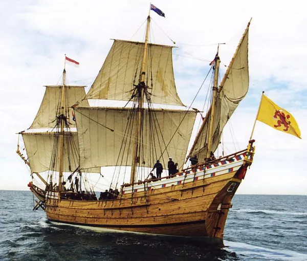
Several waves of European seafarers explored the coastline of Australia over time. Dutch navigators were the first Europeans known to have explored and mapped this coastline. The first documented encounter was that of Dutch navigator Willem Janszoon in 1606. Dutch seafarers also visited the west and north coasts of the continent, as did French explorers. The most famous expedition was that of the UK Royal Navy's Lieutenant (and later Captain) James Cook, which took place in 1770 – 164 years after Janszoon's sighting. After an assignment to observe the 1769 Transit of Venus, Cook followed instructions from the British Admiralty to explore the South Pacific for the reported continent of Terra Australis; on 19 April, Cook sighted the south-eastern coast of Australia and became the first recorded European to explore the eastern coastline. Explorers by land and sea continued to survey the continent for some years after settlement.
Also on this shelf
Australian Capital Territory.
Kaiserslautern Synagogue.
See also
Uncatalogued shelfText from Wikipedia; plate via Wikimedia Commons. Text CC BY-SA 4.0; plate freely licensed (see Commons). Source record. Images and catalogue data are reproduced from open-access collections.