Maps and Exploration
Dell'Arcano del Mare
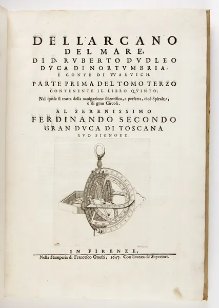
Dell'Arcano del Mare by Sir Robert Dudley is a 17th-century maritime encyclopaedia, the sixth part of which comprises a maritime atlas of the entire world, which is the first such in print, the first made by an Englishman, and the first to use the Mercator projection. The work was first published in Italian at Florence in 1645 and 1646 in three folio volumes. Among other things, it is remarkable for its inclusion of a proposal for the construction of a navy in five rates (sizes) which Dudley designed and described. It was reprinted in Florence in a two volume folio edition in 1661. The seventh map is dedicated to Dudley's patrons, Ferdinando II de' Medici, the Grand Duke of Tuscany and the Grand Duchess of Tuscany Vittoria della Rovere. The map covers the northeast coast of South America, which Dudley had visited in 1594. The area depicted covers modern French Guiana, Guyana, and a small portion of Brazil. The map also depicts "Monoa", the area otherwise known as El Dorado.
Also on this shelf
Chertsey.
Area code 417.
See also
Uncatalogued shelfText from Wikipedia; plate via Wikimedia Commons. Text CC BY-SA 4.0; plate freely licensed (see Commons). Source record. Images and catalogue data are reproduced from open-access collections.