Maps and Exploration
Barak Valley
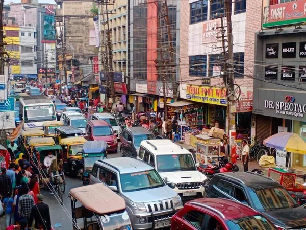
Barak Valley (Bengali pronunciation: [bɔɾak upɔt̪ːɔka]; Sylheti pronunciation: [bɔɾax uɸɔit̪ːɔxa]) is the southernmost region and administrative division of the Indian state of Assam. It is named after the Barak River, whose watershed roughly forms its northern border. The Barak valley consists of three administrative districts of Assam: Cachar, Karimganj, and Hailakandi. The main and largest city is Silchar, which seats the headquarter of Cachar district and also serves as administrative divisional office of Barak valley division. The valley is bordered by Mizoram and Tripura to the south, Bangladesh and Meghalaya to the west and Manipur to the east respectively. Once North Cachar Hills was a part of Cachar district which became a subdivision in 1951 and eventually a separate district. On 1 July 1983, Karimganj district was curved out from the eponymous subdivision of Cachar district. In 1989, the subdivision of Hailakandi was upgraded into Hailakandi district. As this Bengali speaking region is situated in the northeastern corner of the greater Bengal, was once identified as "Ishan Bongo"(Northeastern Bengal) in local folklore.
Also on this shelf
Google Maps.
Conway, Arkansas.
See also
Uncatalogued shelfText from Wikipedia; plate via Wikimedia Commons. Text CC BY-SA 4.0; plate freely licensed (see Commons). Source record. Images and catalogue data are reproduced from open-access collections.