Maps and Exploration
Cartography of Scotland
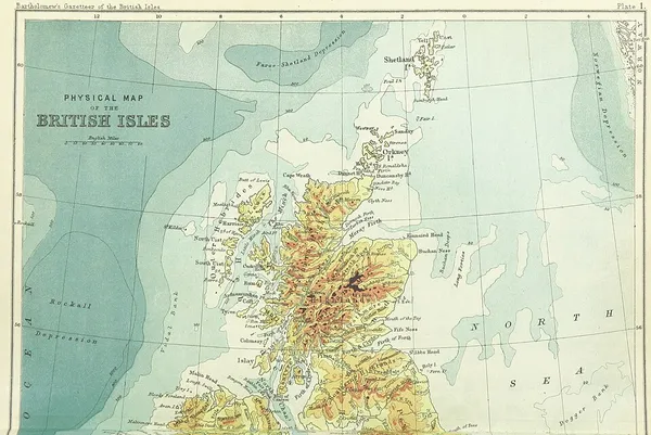
The cartography of Scotland is the history of surveying and creation of maps of Scotland. The earliest known depiction of the country in map form is that of Ptolemy, dated to the second century CE. Surviving maps from the medieval era provide very little additional information and it is not until the mid-16th century that maps of Scotland show genuine improvement. An atlas produced by Joan Blaeu based on Timothy Pont's surveys of the late 16th century and early 17th century has been described as "one of Scotland's... greatest cartographic treasures" and this outline continued to provide the basis for many 'new' maps until the end of the 18th century. More detailed map-making, primarily for military purposes, followed in the wake of Jacobite rising of 1745. In time the work of William Roy (1726–1790) led to the creation of the Ordnance Survey and the era of modern cartography with its diverse functions.
Also on this shelf
Giraffe.
Hjalmar Johansen.
See also
Uncatalogued shelfText from Wikipedia; plate via Wikimedia Commons. Text CC BY-SA 4.0; plate freely licensed (see Commons). Source record. Images and catalogue data are reproduced from open-access collections.