Maps and Exploration
Cerro de Punta
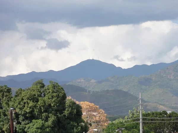
Cerro de Punta
Cerro de Punta or Cerro Punta (Spanish for 'point hill' or 'hill point', respectively) is the highest peak in Puerto Rico, rising to 1,338 meters (4,390 ft) above sea level. The mountain is part of the Cordillera Central and is located on the municipal boundary between Ponce and Jayuya in the central region of the main island of Puerto Rico.
Also on this shelf
Gambelia juncea.
Greenwich.
See also
Uncatalogued shelfText from Wikipedia; plate via Wikimedia Commons. Text CC BY-SA 4.0; plate freely licensed (see Commons). Source record. Images and catalogue data are reproduced from open-access collections.
Depth 8
Shelf 7c68eb2373b1bc
25,934 catalogued holdings
3 ways on