Maps and Exploration
Bahía de Ponce
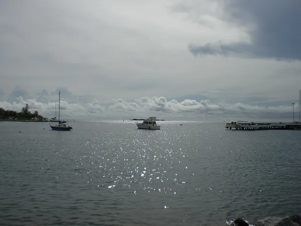
Bahía de Ponce (Ponce Bay) is a bay in Barrio Playa, Ponce, Puerto Rico. The Bay is home to the most important commercial harbor on the Puerto Rico south coast and the second largest in Puerto Rico. The Cardona Island Light is located on the Bay to mark the way into the Bay from the nearby Caja de Muertos Light. Bahía de Ponce is located in southern Puerto Rico, about midway on the southern coast. It has a width of 3.5 mi (5.6 km), a length of 1.5 miles, its shore is about 4.0 mi (6.4 km) and its area is approximately 3,300 acres (13 km2). Typical bay depths are in the 20 ft (6.1 m)-to-40 ft (12 m) range, but these dip to 50 feet (15 m) at the drenched piers. The Bay provides recreation, sightseeing and tourist attractions. It also provides for commercial and industrial activities. The Rafael Cordero Santiago Port of the Americas is located here as well as the La Guancha Recreational and Cultural Complex, the La Guancha Boardwalk, and Club Náutico de Ponce. The annual Cruce a Nado Internacional swimming sports event is held at this Bay every September.
Also on this shelf
33 Ledgelawn Avenue.
Gulf of Mexico.
See also
Uncatalogued shelfText from Wikipedia; plate via Wikimedia Commons. Text CC BY-SA 4.0; plate freely licensed (see Commons). Source record. Images and catalogue data are reproduced from open-access collections.