Maps and Exploration
Betul district
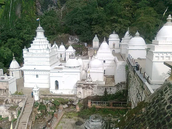
Betul district (Hindi pronunciation: [bɛːt̪uːl]) is a district in the southern part of Madhya Pradesh state in central India. The city of Betul serves as its administrative headquarters. The district is a part of Narmadapuram Division. The district lies along the Satpura Range bordering the Narmada Valley and Berar Plains. The district has much religious significance, namely the source of the Tapti River at Multai and the Jain temples of Muktagiri.
Also on this shelf
Chennakeshava Temple, Somanathapura.
Gartz.
See also
Uncatalogued shelfText from Wikipedia; plate via Wikimedia Commons. Text CC BY-SA 4.0; plate freely licensed (see Commons). Source record. Images and catalogue data are reproduced from open-access collections.