Maps and Exploration
Cape Columbia
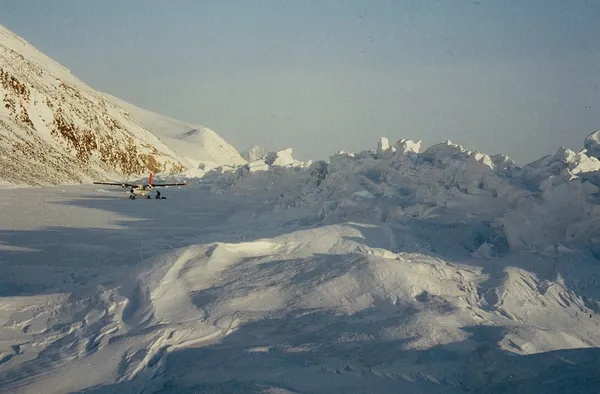
Cape Columbia is the northernmost point of land of Canada, located on Ellesmere Island in the Qikiqtaaluk Region of Nunavut. It marks the westernmost coastal point of Lincoln Sea in the Arctic Ocean. It is the world's northernmost point of land outside Greenland. The distance to the North Pole is 769 kilometres (478 mi). As the northernmost point of Canada, Cape Columbia is exposed to the ice drift of the Arctic sea ice. The approximately 2-metre (6 ft 7 in) thick pack ice of the Arctic Ocean moves several hundred metres per day from east to west. As a result, mighty ice pressure ridges can be piled up at Cape Columbia.
Also on this shelf
British North Greenland expedition.
Denis G. Lillie.
See also
Uncatalogued shelfText from Wikipedia; plate via Wikimedia Commons. Text CC BY-SA 4.0; plate freely licensed (see Commons). Source record. Images and catalogue data are reproduced from open-access collections.