Maps and Exploration
Gajapati district
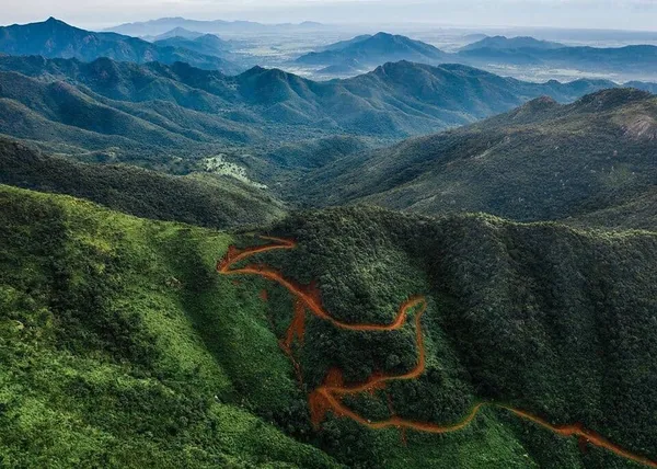
Gajapati district is a district of Odisha State in India. It was carved out of Ganjam District on October 2, 1992. As of 2011 it was the third least populous district of Odisha (out of 30), after Debagarh and Boudh. Gajapati district was named after Krushna Chandra Gajapati Narayan Deb, the King of the Paralakhemundi estate and the first Prime Minister of Odisha, who is remembered for his contribution to the formation of a separate state, and inclusion of his estate in Odisha. The district headquarters in Paralakhemundi, formerly a Zamindari, is clustered within a radius of approximately 5 kilometers around its geometric center.
Also on this shelf
E7 (mathematics).
Freeport, Bahamas.
See also
Uncatalogued shelfText from Wikipedia; plate via Wikimedia Commons. Text CC BY-SA 4.0; plate freely licensed (see Commons). Source record. Images and catalogue data are reproduced from open-access collections.