Maps and Exploration
Charcot Land
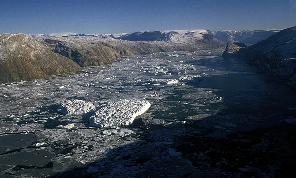
Charcot Land
Charcot Land is a peninsula of Eastern Greenland, part of the Scoresby Sound system. It lies in the Northeast Greenland National Park zone. The area is remote and uninhabited. It was named after French Polar explorer Jean-Baptiste Charcot (1867–1936) during aerial surveys by Lauge Koch as part of the Three-year Expedition to East Greenland.
Also on this shelf
George Comer.
Cape Town City Hall.
See also
Uncatalogued shelfText from Wikipedia; plate via Wikimedia Commons. Text CC BY-SA 4.0; plate freely licensed (see Commons). Source record. Images and catalogue data are reproduced from open-access collections.
Depth 10
Shelf 7ab2d2d1099ea6
25,934 catalogued holdings
3 ways on