Maps and Exploration
Anacostia River
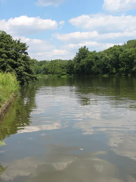
The Anacostia River is a river in the Mid-Atlantic region of the United States. It flows from Prince George's County in Maryland into Washington, D.C., where it joins with the Washington Channel and ultimately empties into the Potomac River at Buzzard Point. It is about 8.7 miles (14.0 km) long. The name "Anacostia" derives from the area's early history as Nacotchtank, a settlement of Necostan or Anacostan Native Americans on the banks of the Anacostia River. Heavy pollution in the Anacostia and weak investment and development along its banks made it "D.C.'s forgotten river". More recently, however, private organizations; local businesses; and the D.C., Maryland, and federal governments have made efforts to reduce pollution and protect the ecologically valuable Anacostia watershed.
Also on this shelf
Alexander Dalrymple.
Area codes 718, 347, 929, and 465.
See also
Uncatalogued shelfText from Wikipedia; plate via Wikimedia Commons. Text CC BY-SA 4.0; plate freely licensed (see Commons). Source record. Images and catalogue data are reproduced from open-access collections.