Geology and Minerals
Dox Formation
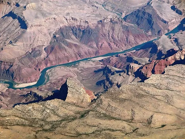
The Dox Formation, also known as the Dox Sandstone, is a Mesoproterozoic rock formation that outcrops in the eastern Grand Canyon, Coconino County, Arizona. The Dox Formation comprises the bulk of the Unkar Group, the older subdivision of the Grand Canyon Supergroup. The Unkar Group is about 1,600 to 2,200 m (5,200 to 7,200 ft) thick and composed of, in ascending order, the Bass Formation, Hakatai Shale, Shinumo Quartzite, Dox Formation, and Cardenas Basalt. The Unkar Group is overlain in ascending order by the Nankoweap Formation, about 113 to 150 m (371 to 492 ft) thick; the Chuar Group, about 1,900 m (6,200 ft) thick; and the Sixtymile Formation, about 60 m (200 ft) thick. The entire Grand Canyon Supergroup overlies deeply eroded granites, gneisses, pegmatites, and schists that comprise Vishnu Basement Rocks. The Dox Formation contains thick basaltic sills and a number of small, dark dikes. In the area of Desert View and west of Palisades of the Desert, the basaltic sills form very prominent, dark gray cliffs. The Dox Formation takes its name from frontier educator Virginia Dox, the first white woman to explore the Grand Canyon, for whom the Dox Castle butte was named.
Also on this shelf
Lawrence Alexander Hardie.
Biological pump.
See also
Uncatalogued shelfText from Wikipedia; plate via Wikimedia Commons. Text CC BY-SA 4.0; plate freely licensed (see Commons). Source record. Images and catalogue data are reproduced from open-access collections.