Geology and Minerals
Flora of the Vosges massif
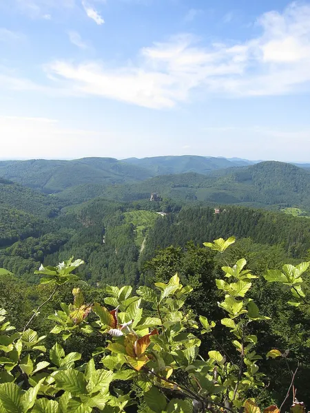
The flora of the Vosges massif is distributed across three principal altitudinal zones, namely the collinean, montane, and subalpine levels. The collinean zone extends up to approximately 500 meters in altitude. The montane zone is between 500 and 1,000 meters, with the subalpine zone extending beyond that. The latter's highest point is the Grand Ballon, which reaches 1,424 meters. The diverse environmental conditions, including altitude, climate, topography, and soil types, contribute to the formation of heterogeneous vegetation. The north-south orientation of the mountain range results in a marked contrast between the eastern and western slopes. The western slopes receive abundant precipitation from westerly winds, while the eastern slopes and peaks experience drier conditions. The Vosges massif is characterized by a high degree of forest cover, with an estimated 60% of the total area comprising wooded land. In the lower elevations, below 500 meters, the forest primarily comprises oak-beech woodlands. At elevations between 500 and 1,000 meters, oak-beech woodlands transition into beech-fir forests. Above 1,000 meters, fir trees become increasingly scarce, giving way to high-altitude beech forests. These forests are characterized by stunted trees as altitude increases, eventually giving way to heathlands or mountain pastures, locally known as "high chaumes," at around 1,200 meters.
Also on this shelf
Geology of Enderby Land.
Karymsky (volcano).
See also
Uncatalogued shelfText from Wikipedia; plate via Wikimedia Commons. Text CC BY-SA 4.0; plate freely licensed (see Commons). Source record. Images and catalogue data are reproduced from open-access collections.