Geology and Minerals
Eridania quadrangle
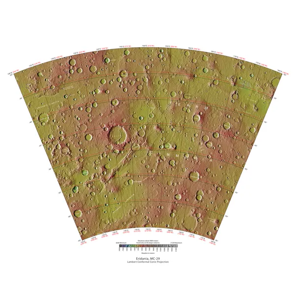
The Eridania quadrangle is one of a series of 30 quadrangle maps of Mars used by the United States Geological Survey (USGS) Astrogeology Research Program. The Eridania quadrangle is also referred to as MC-29 (Mars Chart-29). The Eridania quadrangle lies between 30° and 65° south latitude and 180° and 240° west longitude on the planet Mars. Most of the classic region named Terra Cimmeria is found within this quadrangle. It is named after a region on the Po River, Italy. The name was approved by the IAUP in 1958. Part of the Electris deposits, a 100–200 meters thick, light-toned deposit covers the Eridania quadrangle. Many slopes in Eridania contain gullies, which are believed to be caused by flowing water.
Also on this shelf
Gullies on Mars.
Hatcher Pass.
See also
Uncatalogued shelfText from Wikipedia; plate via Wikimedia Commons. Text CC BY-SA 4.0; plate freely licensed (see Commons). Source record. Images and catalogue data are reproduced from open-access collections.