Geology and Minerals
Aragua
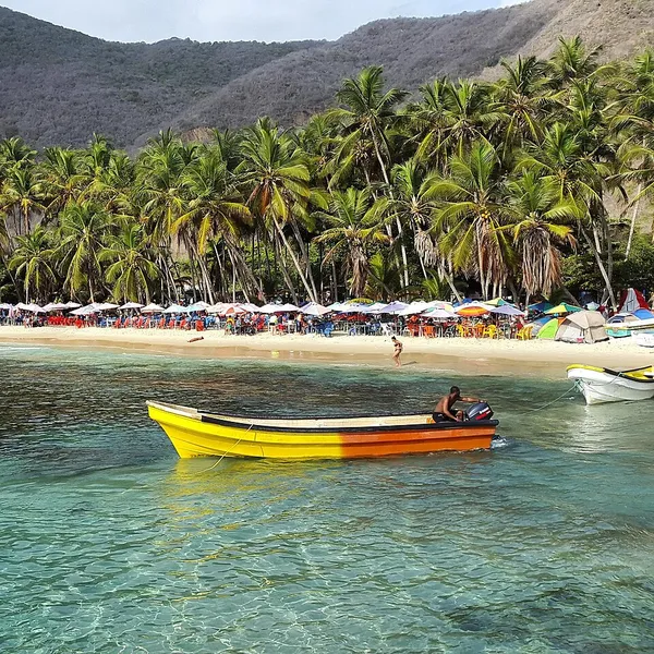
Aragua (Spanish pronunciation: [aˈɾaɣwa]), officially the Aragua State (Spanish: Estado Aragua), is one of the 23 states of Venezuela. It lies in the north-central Central administrative region and is bordered by the Caribbean Sea to the north, Miranda and La Guaira to the east, Guárico to the south, and Carabobo to the west. Its capital is Maracay. Aragua has existed as a state in roughly its present form since 1899, and Maracay has been the capital since 1917. Aragua consists largely of two Andean ranges separated by a basin that holds Lake Valencia, into which the Aragua River drains. The northern part of the state, from the Caribbean coast across the northern range, is occupied by Henri Pittier National Park, the oldest national park in Venezuela. The Aragua River valley is intensively farmed, with sugarcane the leading crop, and Maracay is the state's industrial centre. Covering 7,014 km2 (2,708 sq mi), Aragua is one of the smallest Venezuelan states by area. Its population is concentrated along the coast and in the valleys around Maracay, whose industrial growth made the surrounding area one of the country's more densely settled regions. The 2011 census recorded 1,630,308 inhabitants, the sixth-largest population among the states. The state contains Colonia Tovar, a town founded by German immigrants, and its coastal towns are known for the Dancing Devils performed at Corpus Christi.
Also on this shelf
Cold seep.
Argentinosaurus.
See also
Uncatalogued shelfText from Wikipedia; plate via Wikimedia Commons. Text CC BY-SA 4.0; plate freely licensed (see Commons). Source record. Images and catalogue data are reproduced from open-access collections.