Geology and Minerals
Ariyalur
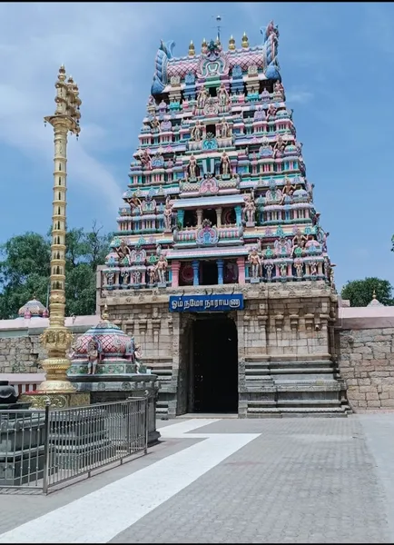
Ariyalur (Tamil: [aɾijaluːɾ]) is a town and district headquarters of Ariyalur district in the South Indian state of Tamil Nadu and is rich in limestone, surrounded with seven cement factories and two sugar factories. The town is located at a distance of 310 km (190 mi) from the state capital Chennai. Ariyalur was a part of the erstwhile Trichinopoly District until India's independence in 1947 and Tiruchirappalli district until 1995, Perambalur district until 2007 and subsequently a part of the newly formed Ariyalur district. The town is a part of the fertile Cauvery Delta and the major profession in the town is agriculture. Ariyalur is administered by a municipality established in 1994. As of 2011, the municipality covered an area of 7.62 km2 (2.94 mi2) and had a population of 28,902. Ariyalur comes under the Ariyalur assembly constituency which elects a member to the Tamil Nadu Legislative Assembly once every five years and it is a part of the Chidambaram constituency which elects its Member of Parliament (MP) once in five years. Roadways are the major mode of transportation to the town and it also has rail connectivity which acts as a main station after Tiruchirappalli junction. The nearest seaport is Karaikal port, located 95 km (59 mi) away, while the nearest airport is the Tiruchirappalli International Airport, located 76 km (47 mi) away from the town.
Also on this shelf
Badab-e Surt.
Cagsawa Ruins.
See also
Uncatalogued shelfText from Wikipedia; plate via Wikimedia Commons. Text CC BY-SA 4.0; plate freely licensed (see Commons). Source record. Images and catalogue data are reproduced from open-access collections.