Geology and Minerals
Aughanduff
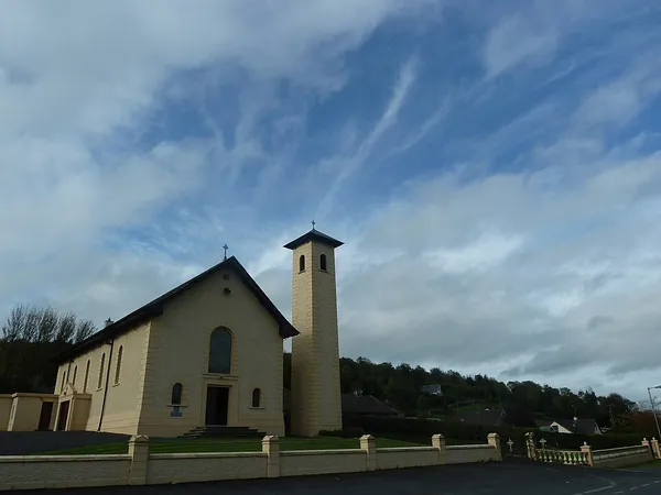
Aughanduff (from Irish Áth an Daimh 'ford of the oxen') is a small hamlet and townland in the civil parish of Forkhill, in the former barony of Orior Upper, and County of Armagh, Northern Ireland. The townland is roughly co-existent with Upper and Lower Aughanduff Mountains, both of which form part of the outer Ring of Gullion geological formation, the most spectacular example of a ring-dyke intrusion in Ireland or Britain, and was the first ring dyke in the world to be geologically mapped. Aughanduff has been populated since prehistoric times and has been recorded as a distinct district since at least the early 1600s. The area's history is both well documented and reflects its location both in rural Ireland and on the borderlands of the Pale, the Plantation of Ulster, and latterly Northern Ireland; indeed, part of the district's northern boundary was proposed for forming part of the northern border of the Irish Free State by the Irish Boundary Commission in its final report of 1925. The Boundary Commission's report was never implemented and today, the area remains within Northern Ireland, some five miles from the border with the Republic of Ireland. Prominent in the hill country of southern Armagh, Aughanduff boasts views of six counties on a clear day, part of the area has been designated by the Northern Ireland Environment Agency as an Area of Special Scientific Interest, and the district forms part of the western element of Ring of Gullion Area of Outstanding Natural Beauty.
Also on this shelf
Girekol.
Cerro Azul (Ecuador volcano).
See also
Uncatalogued shelfText from Wikipedia; plate via Wikimedia Commons. Text CC BY-SA 4.0; plate freely licensed (see Commons). Source record. Images and catalogue data are reproduced from open-access collections.