Geology and Minerals
Geography of Qatar
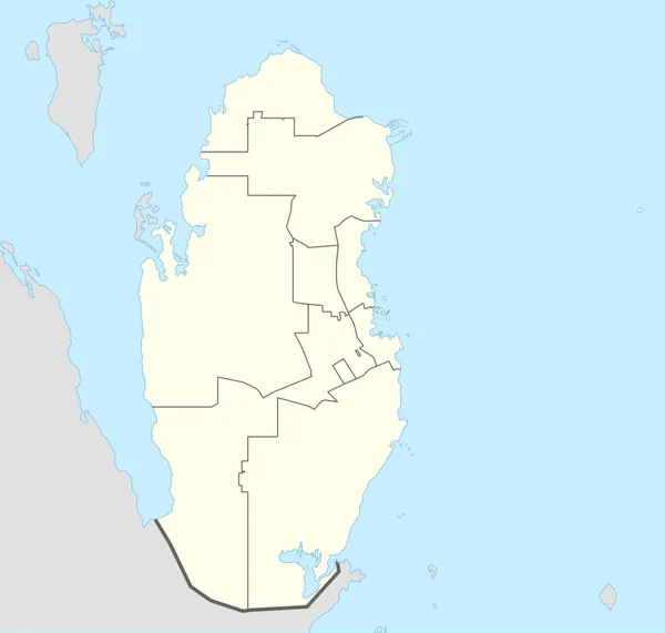
Qatar is a peninsula in the east of the Arabian Peninsula, bordering the Persian Gulf and Saudi Arabia in a strategic location near major petroleum and natural gas deposits. The State of Qatar occupies 11,571 km2 (4,468 sq mi) on a peninsula that extends about 160 km (99 mi) north into the Persian Gulf from the Arabian Peninsula. Varying in width between 55 and 90 km (34 and 56 mi), the land is mainly flat (the highest point is 103 m (338 ft)) and rocky. Notable features include coastal salt pans, elevated limestone formations (the Dukhan anticline) along the west coast under which lies the Dukhan oil field, and massive sand dunes surrounding Khor Al Adaid, an inlet of the Persian Gulf in the southeast known to local English speakers as the Inland Sea.
Also on this shelf
Black Country.
Barnett Shale.
See also
Uncatalogued shelfText from Wikipedia; plate via Wikimedia Commons. Text CC BY-SA 4.0; plate freely licensed (see Commons). Source record. Images and catalogue data are reproduced from open-access collections.