Ancient World
Korazim Plateau
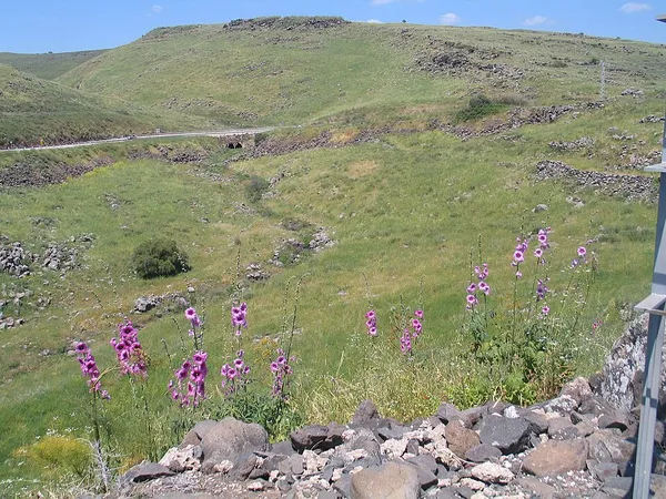
The Korazim Plateau (Hebrew: רמת כורזים, Ramat Korazim, also spelled Corazim) is a volcanic plateau in northern Israel. The plateau is bounded by the Hula Valley in the north, Sea of Galilee in the south, the mountains of the Galilee to the west and the Jordan River to the east. It is named after an ancient Jewish settlement also known as "Chorazin". The highest point is Philon Hill, which is 409 meters above sea level. Towns on the plateau include Rosh Pinna, Hatzor HaGlilit and Tuba-Zangariyye. The rural communities in the region are administered by the Upper Galilee Regional Council, Mevo'ot HaHermon Regional Council and Emek HaYarden Regional Council. Notable archaeological and historical sites include Tel Hazor, Daughters of Jacob Bridge, Mount of Beatitudes and Jubb Yussef. Historically the plateau served as a waystation from north to south and east to west. Armies passed through the plateau towards the Golan during the Palestine Campaign of World War I in 1918, the 1948 Arab–Israeli war, Six Day War and Yom Kippur War.
Also on this shelf
Bir ed-Duwali.
Grianan of Aileach.
See also
Uncatalogued shelfText from Wikipedia; plate via Wikimedia Commons. Text CC BY-SA 4.0; plate freely licensed (see Commons). Source record. Images and catalogue data are reproduced from open-access collections.