Ancient World
History of Carmona, Spain
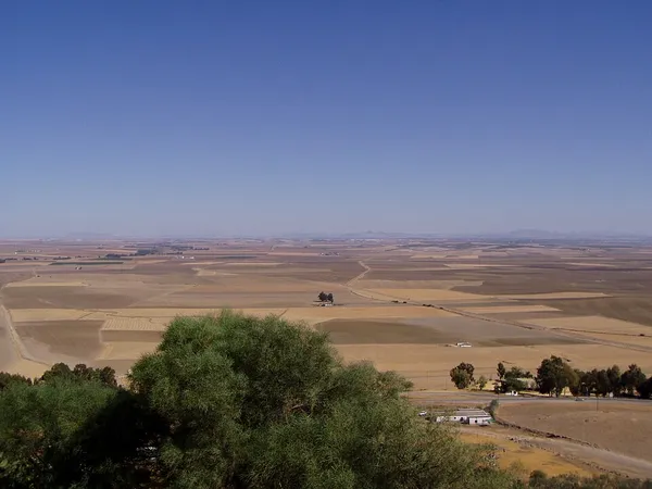
The history of Carmona begins at one of the oldest urban sites in Europe, with nearly five thousand years of continuous occupation on a plateau rising above the vega (plain) of the River Corbones in Andalusia, Spain. The city of Carmona lies thirty kilometres from Seville on the highest elevation of the sloping terrain of the Los Alcores escarpment, about 250 metres above sea level. Since the first appearance of complex agricultural societies in the Guadalquivir valley at the beginning of the Neolithic period, various civilizations have had an historical presence in the region. All the different cultures, peoples, and political entities that developed there have left their mark on the ethnographic mosaic of present-day Carmona. Its historical significance is explained by the advantages of its location. The easily defended plateau on which the city sits, and the fertility of the land around it, made the site an important population center. The town's strategic position overlooking the vega was a natural stronghold, allowing it to control the trails leading to the central plateau of the Guadalquivir valley, and thus access to its resources. The area around Carmona has been inhabited since prehistoric times; although Paleolithic remains have been found, those of the Neolithic are much more abundant. The end of the Chalcolithic period between 2500 and 2000 BC is marked by the appearance of the profusely decorated vessels of the Bellbeaker culture from the necropolis of El Acebuchal. Scattered finds of ceramics have established Bronze Age occupation of the area, and by the late Iron Age this was a Tartessian settlement. From the mid-8th century BC, a stable core population had developed on the wide plateau where the current city is situated. With the arrival of Phoenician traders from Tyre, Carmona underwent a radical change. The Tartessian-Turdetani village was transformed into a city from its nucleus in the neighbourhood of present-day San Blas. The circular huts were replaced by rectangular houses, built on the Phoenician model and arranged in a planned urban layout. The population built defences with walls of sloping masonry on its vulnerable western flank, and continued to consolidate until the mid-6th century BC, when the Tyrian Phoenician trade network disintegrated.
Also on this shelf
List of ancient watermills.
A. Thomas Kraabel.
See also
Uncatalogued shelfText from Wikipedia; plate via Wikimedia Commons. Text CC BY-SA 4.0; plate freely licensed (see Commons). Source record. Images and catalogue data are reproduced from open-access collections.